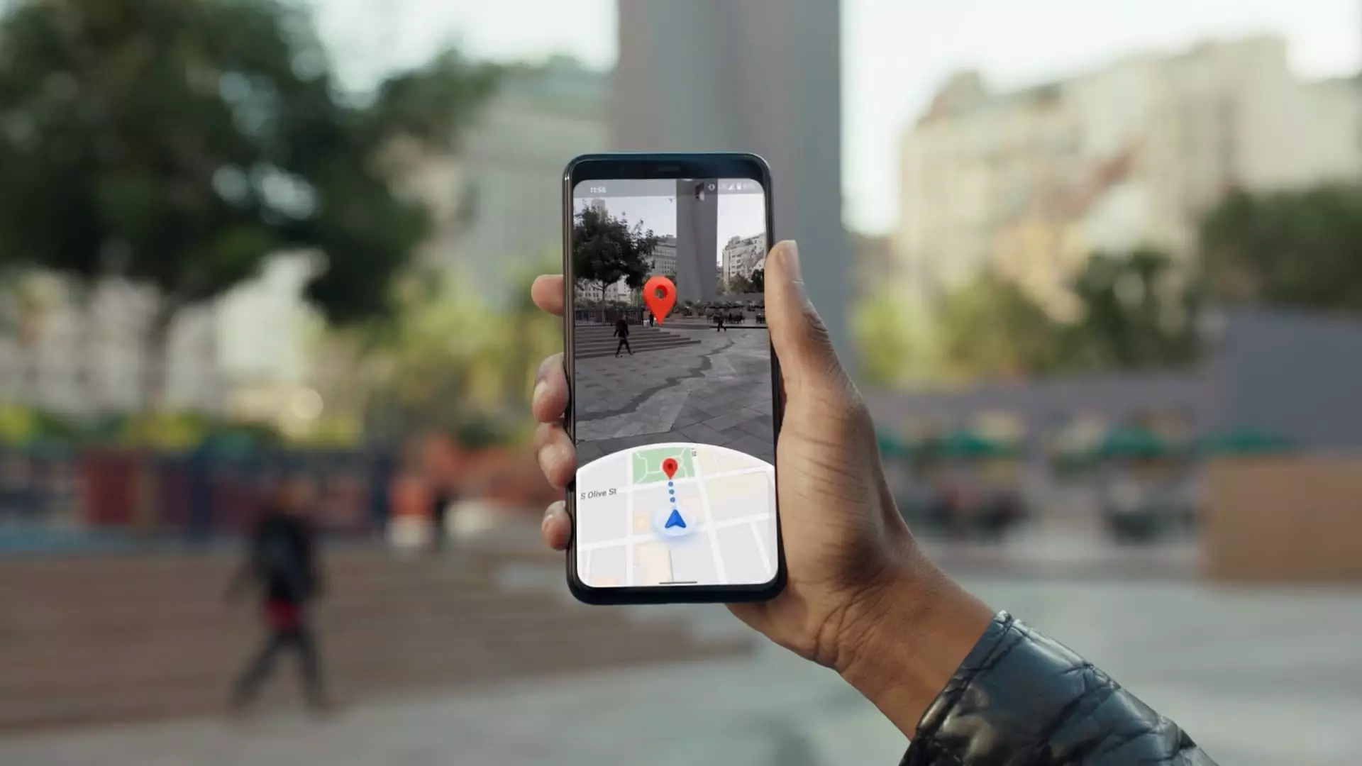
The journey of Google Maps, a landmark in digital navigation, began with Larry Page’s conceptual ambition over twenty years ago. The inception of Google Maps was marked by a moment of inspiration where Page envisioned a tool that could provide an immersive view of streets for users around the world. Maria Biggs, a Google Street View technical program manager, recounts a pivotal moment when Page challenged a team member to innovate using video footage of various streets. This simple yet revolutionary idea laid the foundation for a service that has since become crucial for millions of users in navigating their environments.
The Next Generation of Street View Cameras
Fast forward to 2022, Google unveiled the latest iteration of its Street View camera technology, which represents a significant leap in versatility and efficiency. Unlike previous models integrated into specific vehicles, this new camera system can be mounted onto any car, paving the way for greater accessibility and streamlined data collection. During a recent demonstration, Biggs highlighted the logistics simplicity this upgrade affords. By allowing teams to ship just the camera equipment rather than entire vehicles, Google can deploy mapping efforts in far-flung regions with unprecedented ease. This advancement significantly boosts the time it takes to update crucial map data, bringing areas that haven’t been refreshed in over a decade back into the public’s accessibility.
Google Maps Expansion and Integration of AI
Currently, Google Maps boasts over 2 billion active users each month, solidifying its status as the foremost navigation application worldwide. As it approaches its 20th anniversary, the company’s focus on utilizing cutting-edge technology remains paramount. Google’s integration of generative artificial intelligence, facilitated through its Gemini platform, elevates the mapping experience by offering detailed, customized suggestions to users. For instance, Gemini can filter search results to identify venues based on specific criteria, summarize vast amounts of user reviews, and even provide real-time disruption alerts, dramatically enhancing the user experience. Such enhancements not only improve navigation but also help users make informed decisions on their travels.
Moreover, Google’s commitment to improving driving safety is reflected in enhancements made in Waze, a navigation app acquired by Google in 2013. By leveraging data from Waze, Google Maps has incorporated real-time updates about road hazards, contributing to a more informed travel experience. In many ways, both Waze and Google Maps create a feedback loop, where user-generated data improves overall navigation quality. Chris Phillips, vice president of Google Geo, emphasizes the goal of fostering safer navigation practices. The synergies between the two apps culminate in a system that not only assists in route optimization but also incorporates safety measures critical to modern driving.
Despite its advancements, Google has faced significant hurdles regarding user data privacy. With increasing scrutiny on how companies manage sensitive information, Google has initiated measures to protect user identities. For example, identifiable features such as faces and license plates in Street View images are automatically blurred. Users are also empowered with the option to restrict or delete their location data, reflecting the tech giant’s commitment to maintaining user trust. These moves are essential in a world where digital privacy concerns are at an all-time high, and they represent a broader trend toward transparency and accountability in tech.
The Economic Model and Future Perspectives
Google Maps operates within a complex economic structure that remains somewhat opaque. Reports suggest a projected increase in revenue from $2.95 billion in 2019 to an estimated $11 billion by 2023, largely fueled by targeted advertising and partnerships with various companies. These revenue streams allow Google to maintain its competitive edge while continually refining its offerings. Additionally, Google’s technological infrastructure, such as its Android Automotive operating system, promotes revenue generation through integrations with automobile manufacturers, setting the stage for further advancements in navigation technology, especially with the rise of autonomous vehicles.
The future of Google Maps is inextricably linked to the expansion of autonomous vehicle technology. The rise of robotaxis and their integration into Google Maps represents a revolutionary shift in urban transportation. The collaboration between mapping services and autonomous vehicles forms a dynamic synergy that promises efficiency and seamless navigation. As Waymo, a Google subsidiary, asserts itself in the robotaxi market, the potential for mutual benefit between vehicle operation and mapping capabilities becomes clear.
Google Maps stands at the forefront of redefining navigation through innovative technology, user-centric design, and a commitment to data privacy. Its evolution over the past two decades paints a picture of a service dedicated not only to helping users find their way but also to embracing the future of artificial intelligence and automation. As technology continues to advance, the navigation landscape will undoubtedly reshape how we understand and interact with our surroundings.


Leave a Reply